
GTA 6 Map: All Six Confirmed Leonida Regions
The confirmed GTA 6 map: six Leonida regions, what each one contains, how big the map may be and why no full atlas exists yet.
Official source: Rockstar Games — Grand Theft Auto VI ↗ — "Grand Theft Auto VI heads to the state of Leonida, home to the neon-soaked streets of Vice City and beyond."
Quick answer: Rockstar has confirmed six named regions in GTA 6: Vice City, the Leonida Keys, Grassrivers, Port Gellhorn, Ambrosia and Mount Kalaga National Park. There is no official full map yet. Rockstar has shown selected locations and region names, but not road layouts, collectible positions or a scale.
If you want to know which Vice City districts are confirmed, the Vice City guide→ is the next stop.
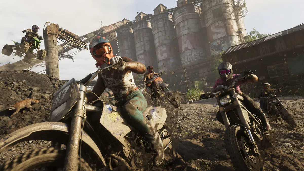
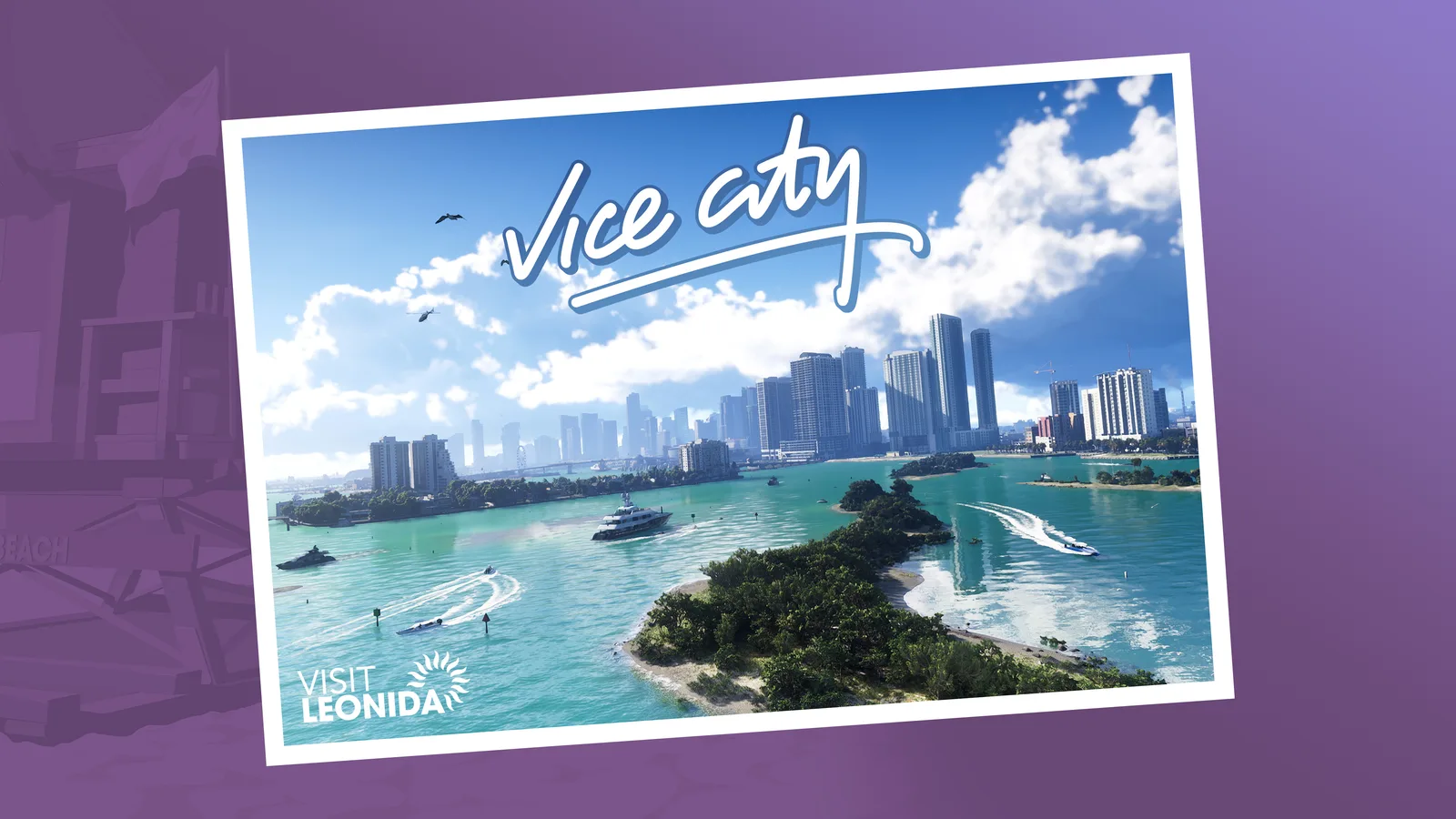
The map is the biggest open question in the launch window. Rockstar's marketing has been deliberately regional: a postcard for each area, a handful of screenshots, and no atlas. That is enough to understand the shape of Leonida without pretending to know every street.
The six confirmed regions
| Region | What Rockstar has shown | What it is for |
|---|---|---|
| Vice City | Neon skyline, beachfront, clubs, motels, downtown towers | Main urban hub, story missions, nightlife |
| Leonida Keys | Bridges, boats, turquoise water, small islands | Boating, exploration, smuggling-flavored content |
| Grassrivers | Wetlands, airboats, swamp villages, wildlife | Off-road traversal, ambushes, hunting-style encounters |
| Port Gellhorn | Industrial waterfront, motels, rail lines, sunsets | Working-class city, vehicle and cargo missions |
| Ambrosia | Refineries, highways, open plains, industrial haze | High-speed driving, industrial set pieces |
| Mount Kalaga National Park | Forest, cliffs, trails, helicopters | Wilderness exploration, verticality, scenic flights |
The region names come from Rockstar's official location postcards and the VI website. The descriptions above are based on the official screenshots and the visual identity of each postcard. Specific activities inside each region are not confirmed.
The GTA 6 vehicle guide→ explains which vehicle categories are worth using.
How big is the GTA 6 map?
Rockstar has not published square mileage, a comparison overlay or a grid. Community estimates based on trailer landmarks are guesses. The useful answer is structural: Leonida is a whole state, not a single city, and the six regions are spread across urban, coastal, wetland, industrial and wilderness biomes. That is a larger design canvas than GTA V's Los Santos plus Blaine County, but "larger" is not a number.
Mapping projects are fan research, not official data. Some are careful; none are authoritative. Do not plan a collectible route around a leaked coordinate set.
Where to go first
For a first playthrough, follow the story's region order rather than free-roaming. Rockstar typically unlocks the map through missions, and driving into a late-game area early can spoil story beats or leave you under-equipped.
A sensible launch-week route:
- Vice City. Learn the city, buy armor, unlock the basic weapon loop.
- Port Gellhorn. Open up the industrial coast and the cheaper vehicle upgrades.
- Leonida Keys. Use boats, explore the islands, pick up side content.
- Grassrivers. Slow down. The wetland is where the map stops being a road network.
- Ambrosia. High-speed highway content and story set pieces.
- Mount Kalaga. Save the park for last, when you have a capable off-road vehicle and flight access.
This is a suggested route, not a confirmed mission order.
Vice City is not the whole map
The marketing leans hard on Vice City because it is the recognizable name. The official postcards make the broader point: Leonida is a state with a swamp, a port, a refinery belt and a national park. If you only drive the city loop, you are skipping half the design.
Our Vice City guide→ covers the urban area in detail. The vehicles guide→ explains which vehicle types fit each region.
What the map still needs
- A full road atlas
- Confirmed district names inside Vice City
- Collectible, stunt and activity locations
- Safehouse and property locations
- Fast-travel rules
- Map size comparisons
Rockstar will likely publish some of this in-game and leave the rest to players. We will update this page when the game is live and the map can be verified rather than guessed.
Regional travel: what to expect
GTA games gate long-distance travel through roads, bridges and airports. Leonida's geography suggests three main travel layers:
- Roads. The highway network connects Vice City, Port Gellhorn and Ambrosia.
- Water. The Keys reward boats; the Grassrivers reward airboats and amphibious vehicles.
- Air. Mount Kalaga and the islands are the natural candidates for helicopters and planes.
Rockstar has not confirmed a fast-travel system, a train network or an airport schedule. Treat any specific claim as unverified.
Frequently Asked Questions
Is the GTA 6 map bigger than GTA 5? Rockstar has not said. The state-of-Leonida framing implies more than one city, but no official size comparison exists.
Are there six regions or more? Six are officially named. Rockstar can add districts and sub-areas inside them without announcing a seventh region.
Can you leave Leonida? No official information. The game is set in Leonida; other states have not been announced.
When will the full map be available? At launch, from the game itself. We will publish a verified region guide, not a leak-based atlas.
Sources and further reading
- GTA VI official media kit ↗ — official screenshots and artwork.
- GTA VI release-date announcement ↗ — Rockstar Newswire confirmation of November 19, 2026.